The caldera rim at Tagaytay
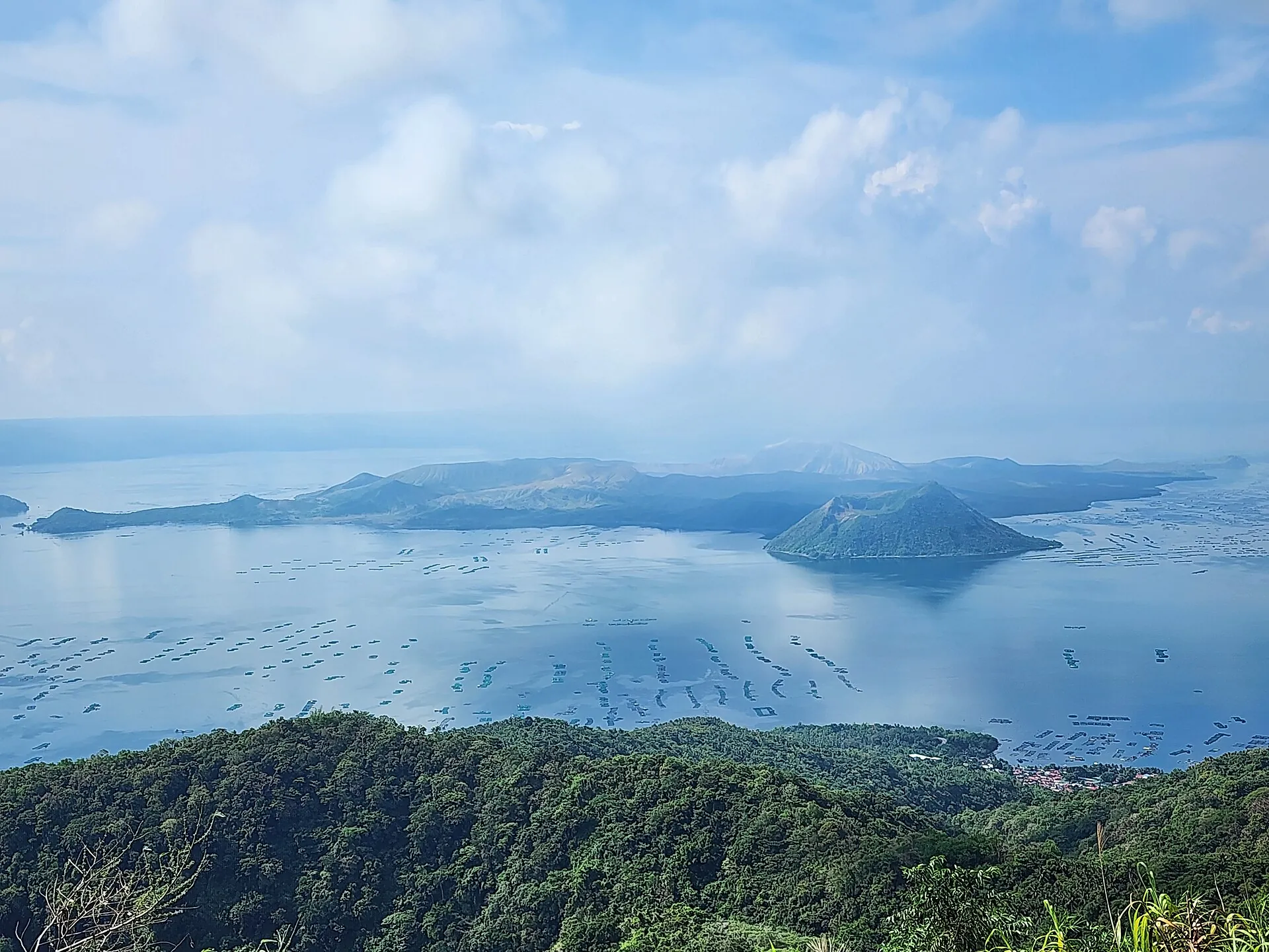
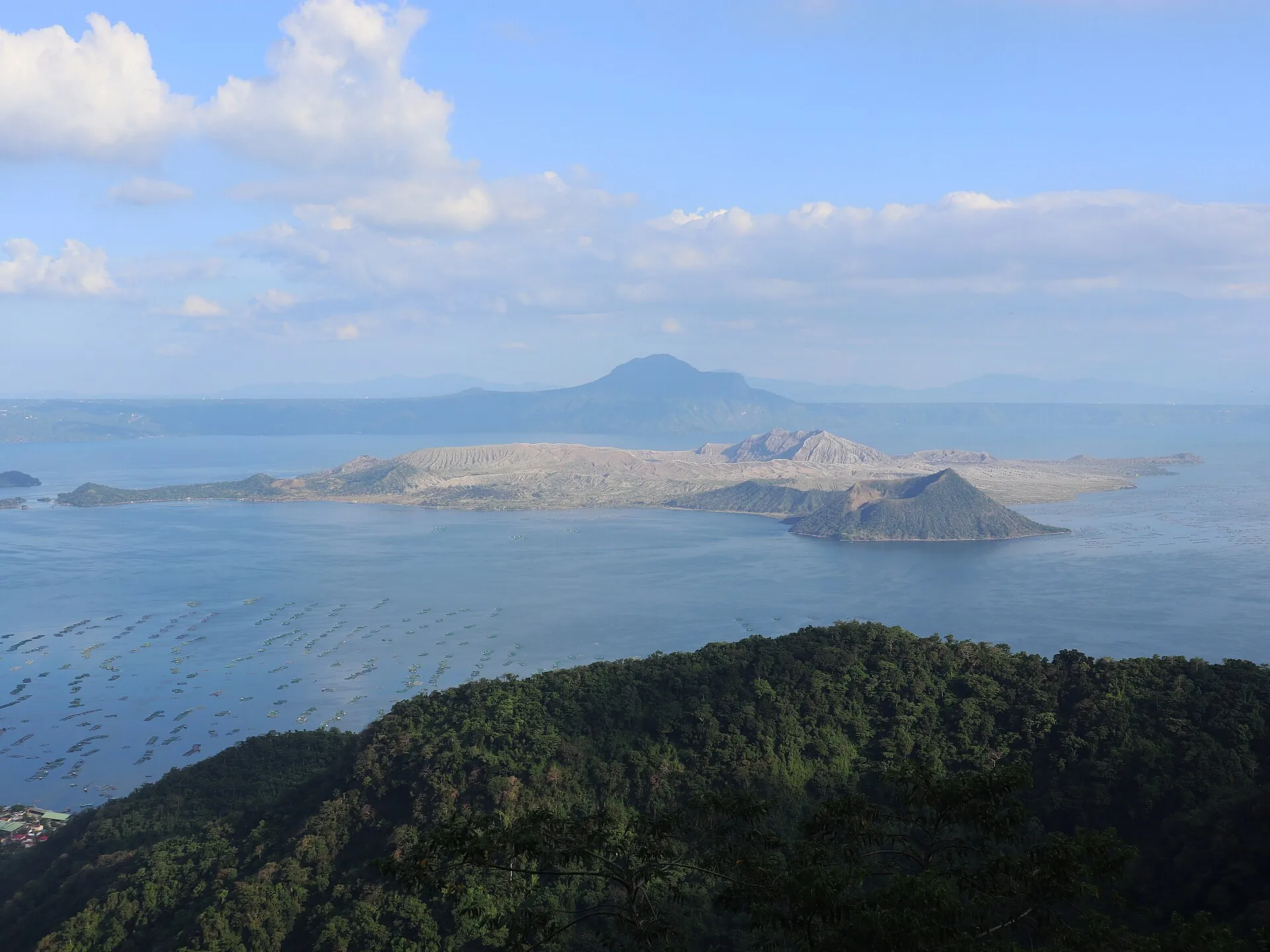
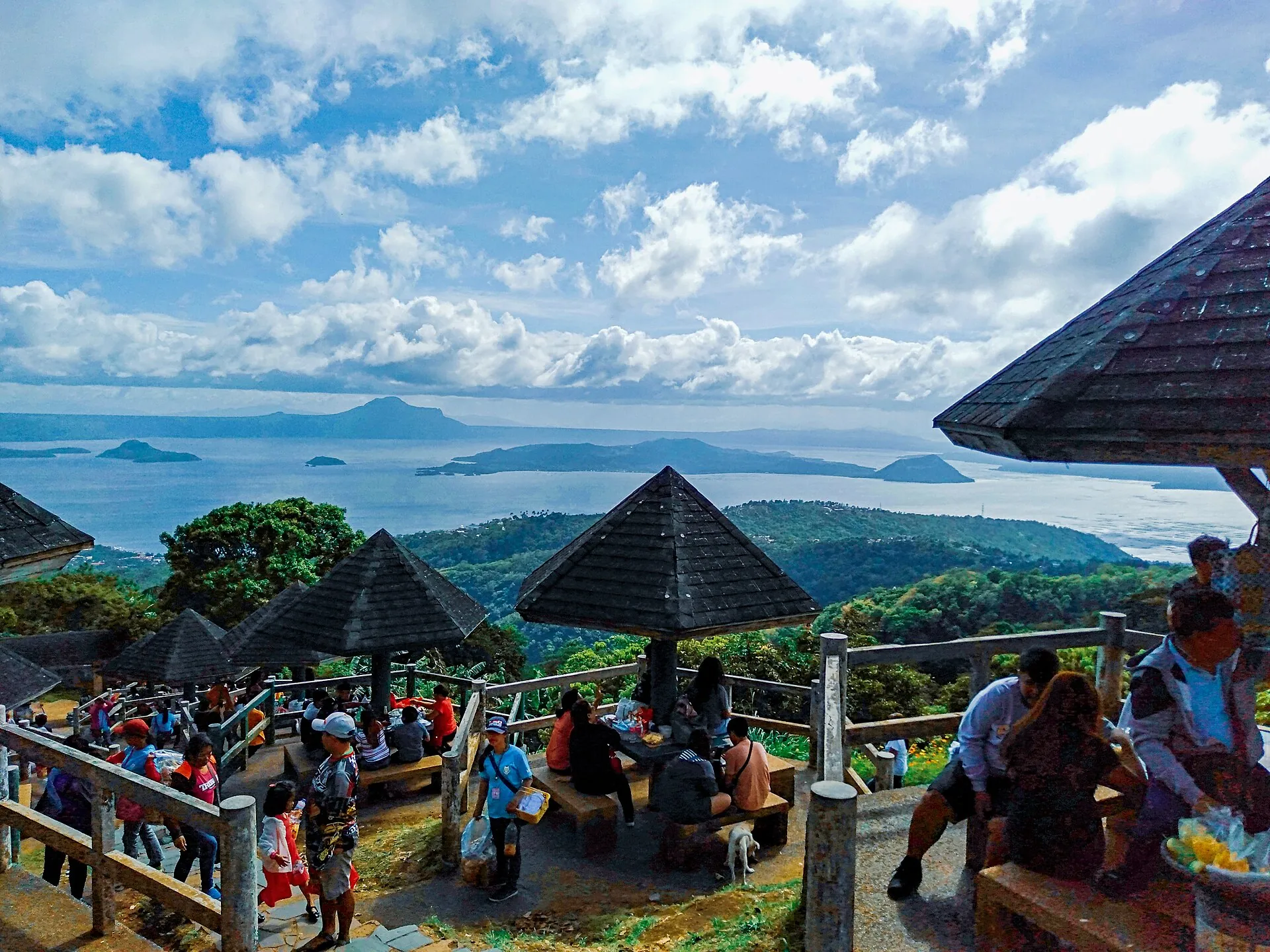
The ridge road is free, any time. Picnic Grove, People's Park in the Sky and Sky Ranch charge a small entrance fee. Practically every Taal photo is taken from here – clearest early in the morning.
12 January 2020: the ash column stands up to 15 kilometers above the lake.
Afterwards the island lies gray under ash, the villages evacuated.
Today it is green again – and still off-limits to everyone.
Scroll –
from the eruption to today
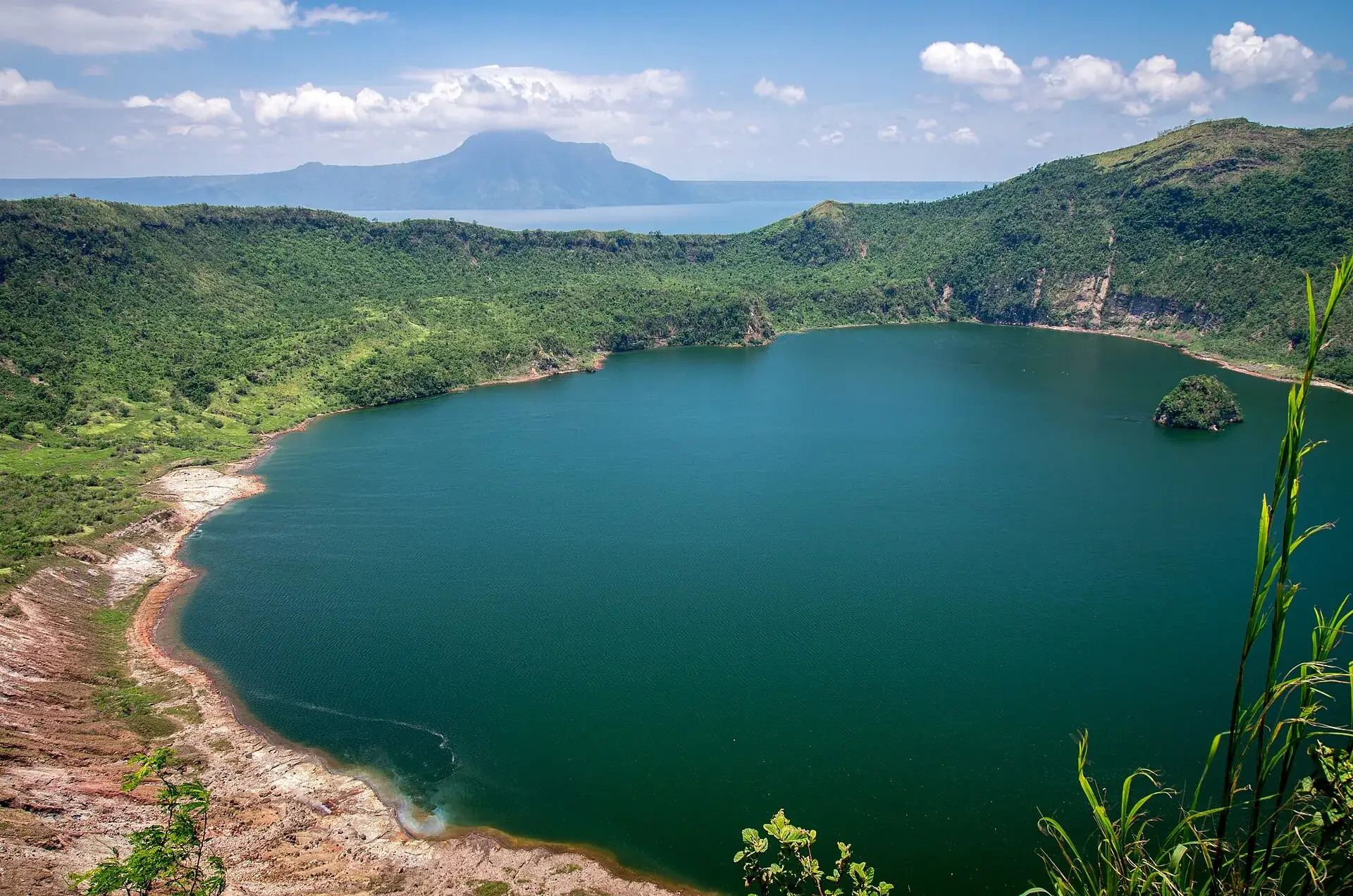
Taal is a lake within a lake: a caldera 25 to 30 km (16 to 19 miles) across, Taal Lake inside it, Volcano Island inside the lake, and a crater lake inside the island. At 311 m (1,020 ft) it is one of the lowest active volcanoes in the world and one of the deadliest in the Philippines. PHIVOLCS keeps it at Alert Level 1 – low-level unrest, but 2026 has already seen more than a dozen small eruptions at this level. The crater trek by boat and horse that many sites still describe has been banned since 2020.
The ridge road is free, any time. Picnic Grove, People's Park in the Sky and Sky Ranch charge a small entrance fee. Practically every Taal photo is taken from here – clearest early in the morning.
The protected area board (PAMB) allows cruising and sightseeing since 23 June 2026 from 6 am to 4 pm – no landing. The daily PHIVOLCS bulletin advises against boating at the same time. Both statements stand side by side; the call is yours.
The entire island is a Permanent Danger Zone. Entry is prohibited – for everyone, with or without a guide. There is no permit tourists could buy. The main crater has been off-limits since 2010.

Photo: Stayybymebelleza · CC BY-SA 4.0
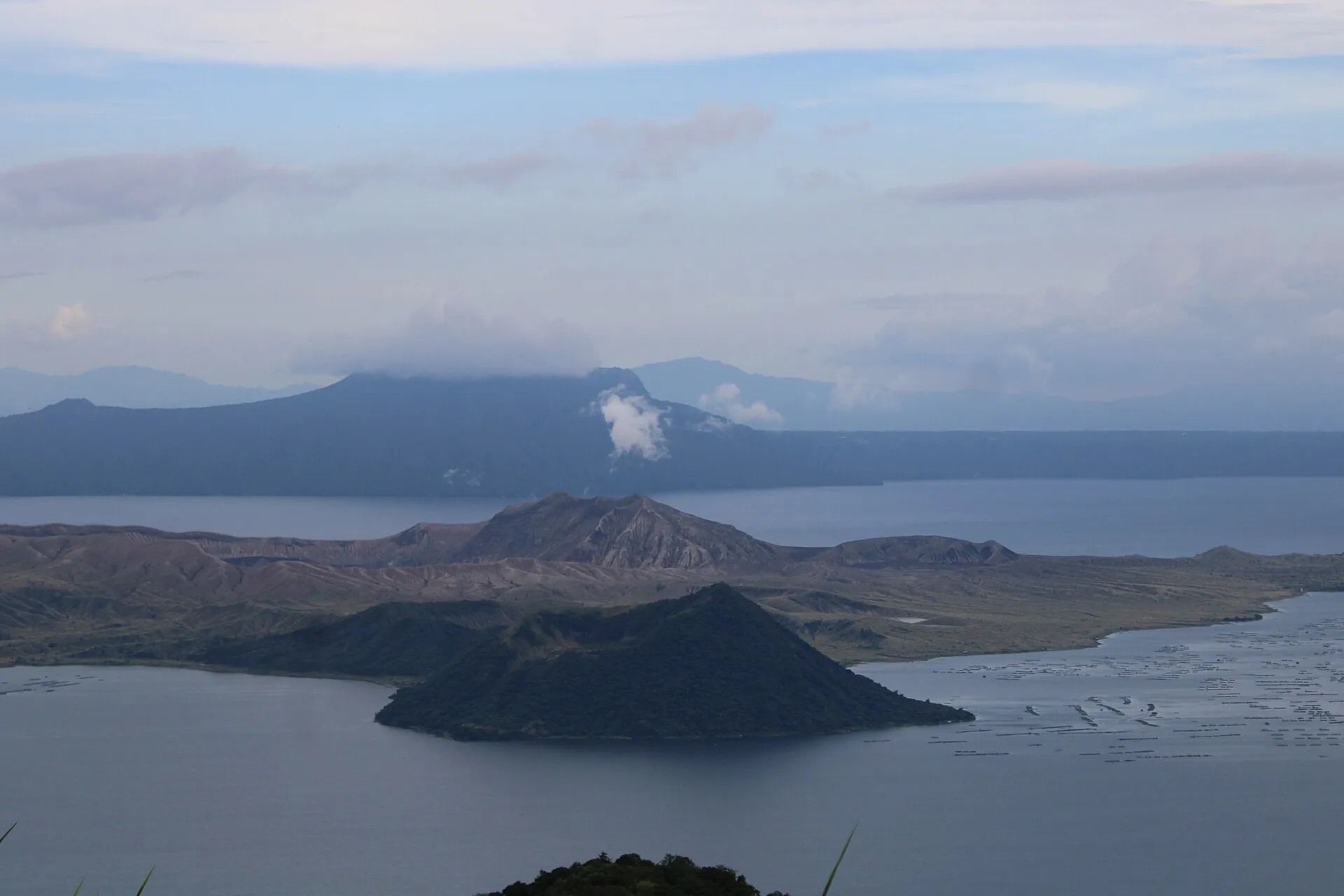
You stand 600 m (2,000 ft) above the lake, the wind is cooler than in Manila, and below you the island and its crater look like a scale model. When Taal releases gas, a white plume stands over the main crater; during the small eruptions of 2026, dark clouds rose up to two kilometers. From the rim it is a spectacle without risk. On the water you get within a few hundred meters of the island – nobody is allowed closer.
Affiliate links to GetYourGuide: if you book, we earn a commission and the price stays the same. Prices and ratings as of 22 September 2026. All of these tours show Taal from the caldera rim. No legitimate tour lands on the island – if an operator promises that, it is illegal.

Photo: Kai Lehmann · CC BY 2.0
The closure is not a snapshot but a chain of decisions going back to 2010. And it is enforced: in February 2026 four tourists had themselves taken to the crater – the case ended up with the Coast Guard, PHIVOLCS and the protected area management.
PHIVOLCS classifies the entire Volcano Island as a permanent hazard zone: steam and gas explosions without warning, volcanic earthquakes, lethal accumulations of gas. The main crater has been closed since 2010, the whole island since the advisory of 1 December 2019.
After the eruption of 12 January 2020 (39 dead), President Duterte ordered that nobody return to the island. PHIVOLCS, the protected area board (PAMB) and the governor of Batangas reaffirmed this in 2022, 2024 and most recently in June 2026.
Only researchers and authorized personnel may go onto the island, with prior clearance from the PAMB. There is no ticket, no application form, no exception for photographers or mountain guides.
Cruising on the lake is allowed from 6 am to 4 pm, only in boats registered with the Coast Guard. Make it clear before casting off: no landing. On 8 February 2026 a boat operator was shut down for exactly that.
| View from the caldera rim at Tagaytay, public road | free |
| Picnic Grove (City of Tagaytay) · seniors 50 PHP · children under 5 free · parking 50 PHP · 6 am–10 pm | 75 PHP (approx. $1.20) |
| People's Park in the Sky (Mount Sungay, 709 m) · shuttle to the top 10 PHP · 6 am–7 pm | approx. 50 PHP (approx. $0.80) |
| Sky Ranch Tagaytay · Sky Eye Ferris wheel 200 PHP · parking 50 PHP | 120 PHP (approx. $1.90) |
| Bus PITX (Manila) – Tagaytay Rotonda, 1.5–2 hours | 100–121 PHP (approx. $1.60–1.90) |
| Entering Volcano Island | not allowed – no ticket, no permit |

Photo: Patrickroque01 · CC BY-SA 4.0
Without the island, the rim is what is left – and it is better than it sounds. Three parks, one free road, one lake.
The ridge road on the caldera rim, about 600–700 m (2,000–2,300 ft) above the lake. Restaurants and cafés line the edge; from Manila it is 59 km (37 miles) via the Aguinaldo Highway, 1.5–2 hours.
City park with viewing decks, picnic huts (250 PHP), a zipline (300–400 PHP) and horses, right on the edge. Good for photos with a foreground.
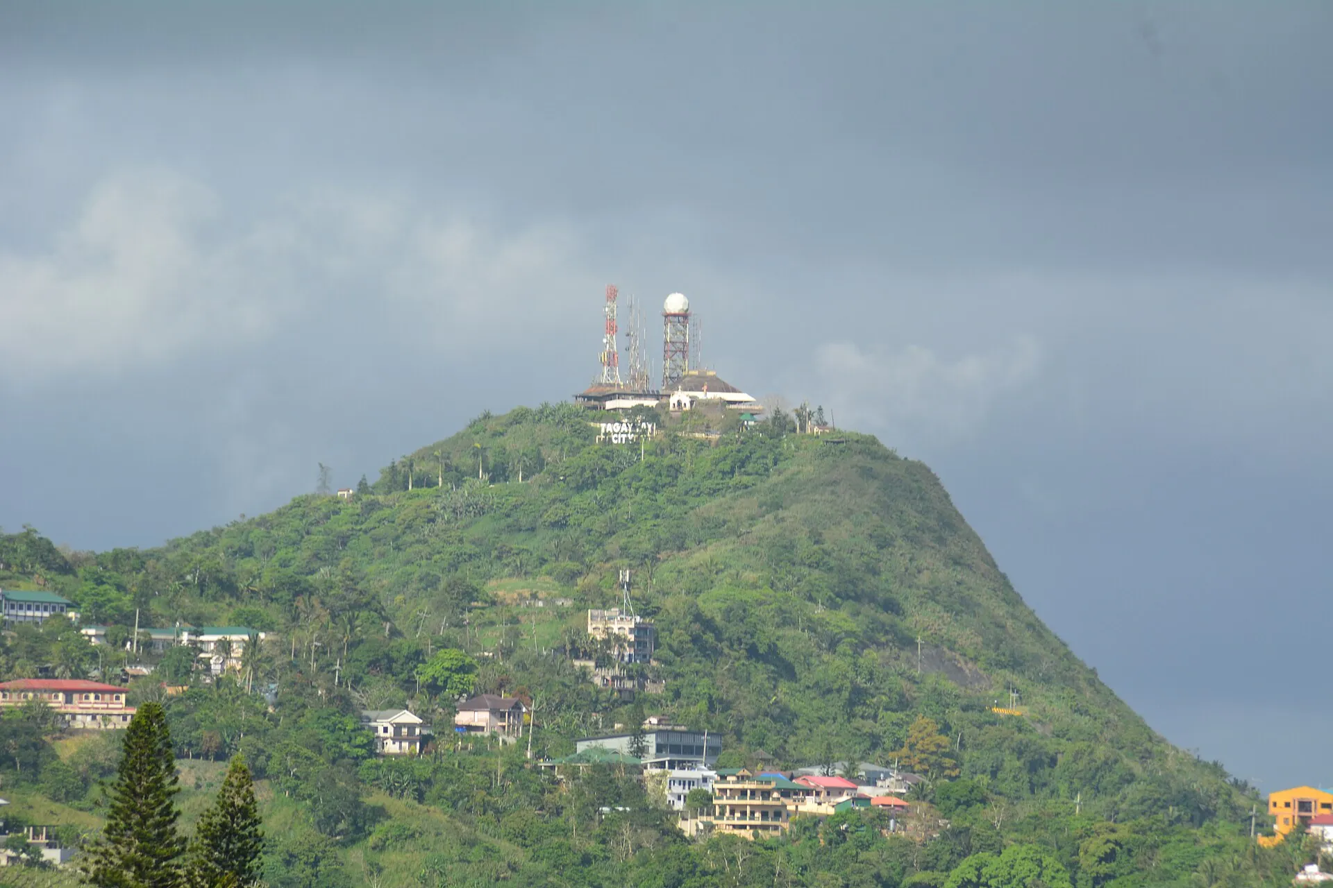
Unfinished palace from the Marcos era on Mount Sungay (709 m / 2,326 ft), the highest point in the area. Panoramic view of lake and volcano; about 500 m uphill on foot or by shuttle (10 PHP).
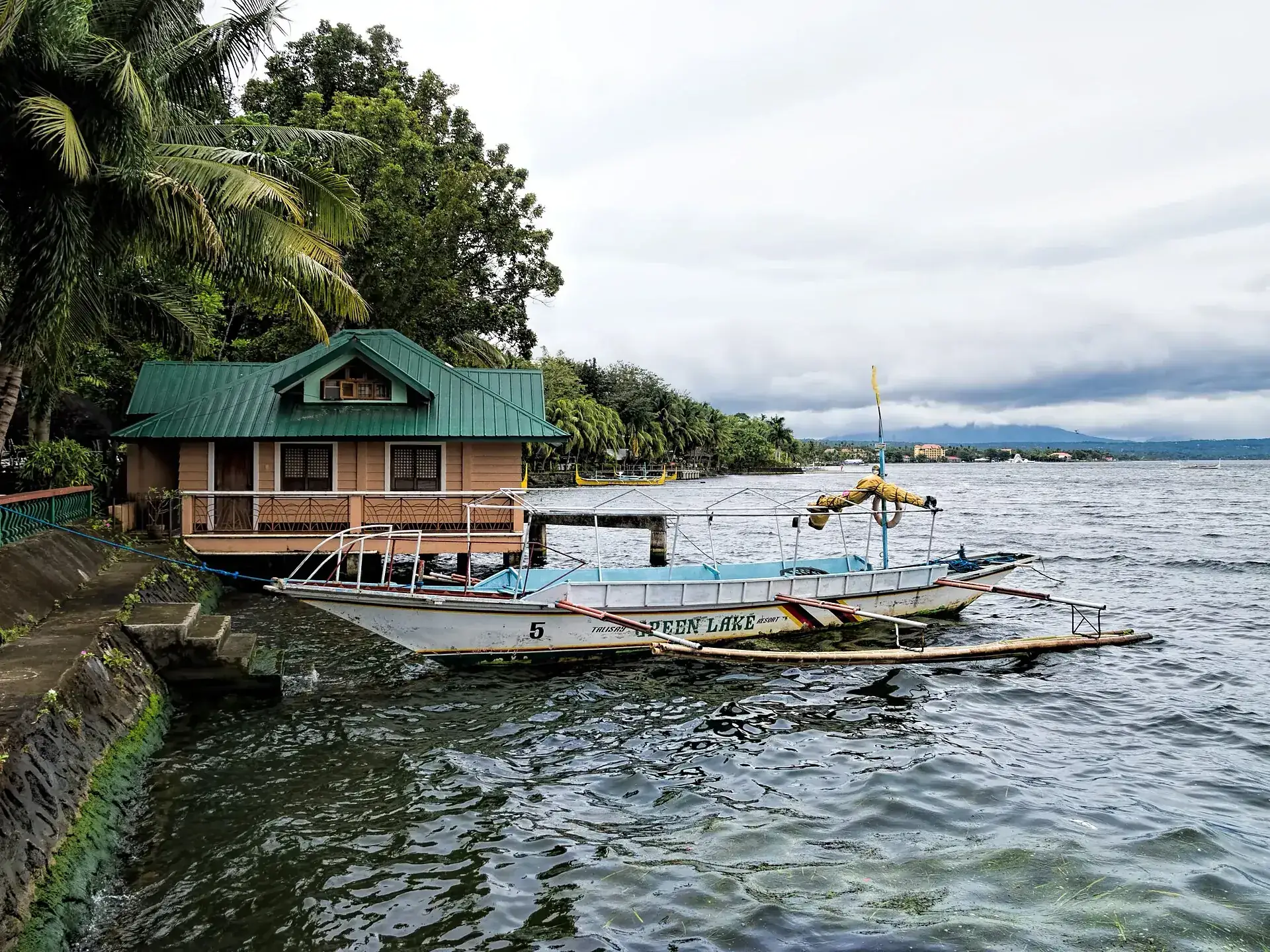
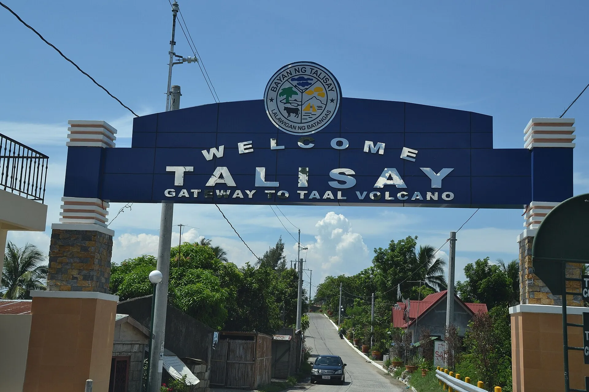
From the lakeshore in Talisay (30–45 minutes below Tagaytay), bangkas run one-hour sightseeing trips to just off the island or a roughly three-hour circuit around it. Registered boats only, insist on life jackets, no landing.
Formerly by boat from Talisay, then on foot or horseback along the Daang Kastila trail to the crater rim. Still described on booking sites and sometimes sold – it leads into the danger zone and is not legal.

Photo: Ralff Nestor Nacor · CC BY-SA 4.0
Without a car: From Manila, buses run continuously from the Parañaque Integrated Terminal Exchange (PITX), from LRT Buendia and from Cubao to Tagaytay; destination sign 'Nasugbu via Tagaytay' or 'Mendez/Alfonso' (DLTB, San Agustin, Saint Anthony Padua, Tas Trans and others). Travel time 1.5–2 hours, PITX–Tagaytay Rotonda 100–121 PHP (as of 01/2026), first departure from 4 am, last around 9 pm. Get off at the Tagaytay Rotonda or at Olivarez Plaza; continue by jeepney or tricycle to the viewing parks. To the lakeshore at Talisay: jeepney from Tagaytay via Ligaya Drive, then tricycle to the shore (blogs, older information) – or via Tanauan from the STAR Tollway.
By car: From Manila via SLEX/CAVITEX and the Aguinaldo Highway or the Sta. Rosa–Tagaytay Road, about 59 km (37 miles). Parking at the parks: Picnic Grove and Sky Ranch 50 PHP each for cars (as of 05–06/2026); weekend traffic jams on the ridge road.
Dry season December to May, and then early in the day – from late morning it clouds over; boat trips may start from 6 am, the first hours of the morning are ideal. The rainy season June to October brings clouds, rain and typhoons. Regardless of the season, the volcano decides: with high sulfur dioxide emissions and light winds, vog sits over the lake and the caldera rim, cutting visibility and irritating the airways (episodes in September/October 2023 and August 2024). Weekends and Philippine holidays fill Tagaytay – on weekdays it is emptier and cheaper.

Photo: Dan Lundberg · CC BY-SA 2.0
Two authorities, two statements: the Protected Area Management Board allows cruising and sightseeing as ecotourism, since 23 June 2026 from 6 am to 4 pm. The daily PHIVOLCS bulletin lists boating on the lake under “should not be allowed” – at Level 1, Taal can blast out steam at any time without warning. Only one thing is beyond dispute: landing is prohibited. If you go, take a registered boat, go early, stay on the water and read the bulletin first.
Affiliate links to GetYourGuide: if you book, we earn a commission and the price stays the same. Prices and ratings as of 22 September 2026. The boat rides go around the island, not onto it. At Level 3 the lake is closed; in typhoons and vog the trip is canceled – choose a cancellable rate.

Photo: shankar s. · CC BY 2.0
No. Volcano Island has been closed to everyone since the eruption of January 2020, the main crater since 2010. There is no permit for tourists. You see Taal from the caldera rim at Tagaytay or from a boat.
Yes, as a day trip: 59 km (37 miles), 1.5–2 hours each way. The tours stop at the Tagaytay viewpoints; some combine the view with a boat ride on the lake or with Pagsanjan Falls. None of them goes onto the island.
The view from the road is free. Picnic Grove 75 PHP, People's Park in the Sky about 50 PHP, Sky Ranch 120 PHP – less than $4 all together. Boat rides cost per boat from about 1,500 PHP at the Talisay market to 3,500 PHP per hour at the yacht club.
Tagaytay sits right on the caldera rim, 600–740 m (2,000–2,400 ft) above the lake – the volcano lies at your feet. Down to the lakeshore at Talisay (about 15 km / 9 miles) it is a 30–45 minute drive; Tagaytay belongs to Cavite, the lake and volcano to Batangas.
As of 22 September 2026: no. The entire Volcano Island is a Permanent Danger Zone; the PHIVOLCS bulletin of 22 September 2026 expressly lists entry onto the island as not allowed, and the PAMB reaffirmed in June 2026 that the island remains closed. Open are the caldera rim at Tagaytay and – without landing – the lake.
Alert Level 1 of 5, meaning LOW-LEVEL UNREST – as of the PHIVOLCS bulletin of 22 September 2026. Measured were one continuous volcanic tremor, 362 tons of sulfur dioxide per day and a 700 m (2,300 ft) steam plume. Level 1 has been in effect continuously since 11 July 2022; small eruptions are possible at any time at this level.
Yes, within regulated limits: the Protected Area Management Board has permitted cruising, boating and sightseeing since 23 June 2026 from 6 am to 4 pm (previously 8 am–3 pm). In parallel, the daily PHIVOLCS bulletin advises against boat traffic – both statements sit side by side. What is unambiguously prohibited is landing on Volcano Island.
There is no official price list. The Taal Lake Yacht Club in Talisay cites 3,500 PHP per boat hour and 7,500 PHP for a roughly three-hour circuit of the island, plus a 100 PHP tourism fee per person and a 500 PHP guide fee per boat; bangkas at the Talisay market cost 1,500–2,000 PHP for 6–8 people according to blogs. All operator figures, as of 2026.
From the caldera rim at Tagaytay, 600–740 m (1,970–2,430 ft) above the lake. The road is free; Picnic Grove (75 PHP), People's Park in the Sky (about 50 PHP) and Sky Ranch (120 PHP) offer viewing decks. Visibility is best early in the morning.
Because enforcement rests with the municipalities and the Coast Guard and is not airtight. In February 2026, four foreign tourists took a rented boat to the crater; the operator was shut down, and the Coast Guard, PHIVOLCS and the PAMB investigated. The fact that a tour can be booked does not make it legal.
By bus from PITX (also LRT Buendia or Cubao) bound for 'Nasugbu via Tagaytay', 1.5–2 hours, 100–121 PHP to the Tagaytay Rotonda (as of 01/2026), from 4 am. By car via the Aguinaldo Highway or the Sta. Rosa–Tagaytay Road, about 59 km (37 miles). To the lakeshore at Talisay it is 30–45 minutes down from Tagaytay.
It is among the deadliest volcanoes in the Philippines: in 1911 more than 1,100 people were killed, in 1965 more than 100 by base surges, in 2020 39. PHIVOLCS warns of steam and gas explosions without warning, volcanic earthquakes, ashfall and lethal accumulations of gas – which is why the island is closed. On the caldera rim you are safe; the German Foreign Office (Auswärtiges Amt) advises following PHIVOLCS guidance and keeping well clear of danger areas.
Vog is volcanic smog made of fine sulfur dioxide droplets that irritate the eyes, throat and airways. It forms when Taal emits a lot of gas and the wind is light; in October 2023 and August 2024 schools in dozens of municipalities as far as Metro Manila stayed closed for this reason. The daily bulletin notes whether vog was observed; people with asthma or heart conditions, pregnant women and children should then stay away from the lakeshore.
Dry season December to May, early in the morning. In the rainy season from June to October the crater is often in cloud, and typhoons can prevent boat trips. On weekdays Tagaytay is much emptier than on weekends.
Very good as a viewing destination: no exertion, parks, cafés and an amusement park on the caldera rim; children up to 4 years are free at Picnic Grove. On the boat, insist on life jackets. A climb is not an option anyway.
The Permanent Danger Zone is a permanent classification by PHIVOLCS: the entire island has been considered uninhabitable for years, and the Main Crater has been closed since 2010. Before 2020, day visits were nevertheless tolerated. Since the eruption of January 2020 and the presidential order of 15 January 2020, entry is prohibited for everyone; PHIVOLCS, the PAMB and the governor reaffirmed this in 2022, 2024 and 2026.
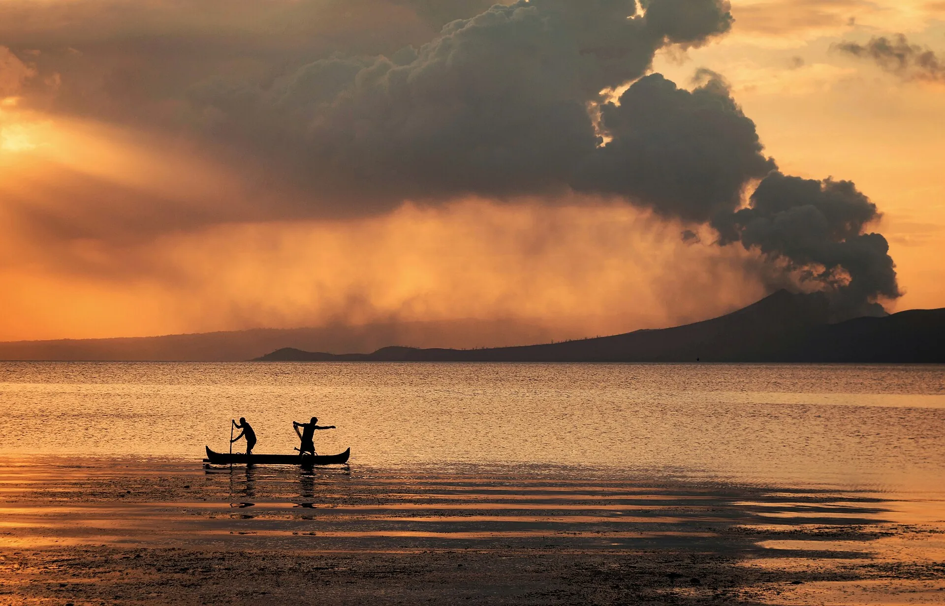
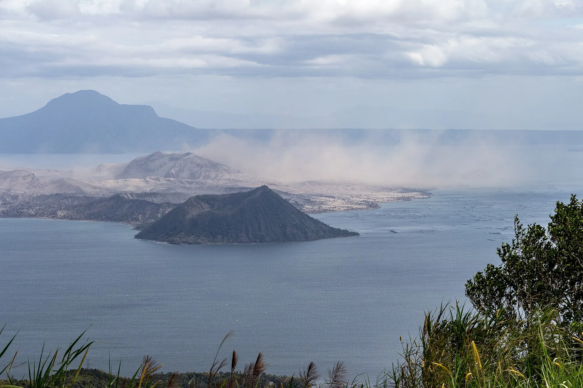
Photo: Akbermamps · CC BY-SA 4.0
Sources · accessed on 22 September 2026