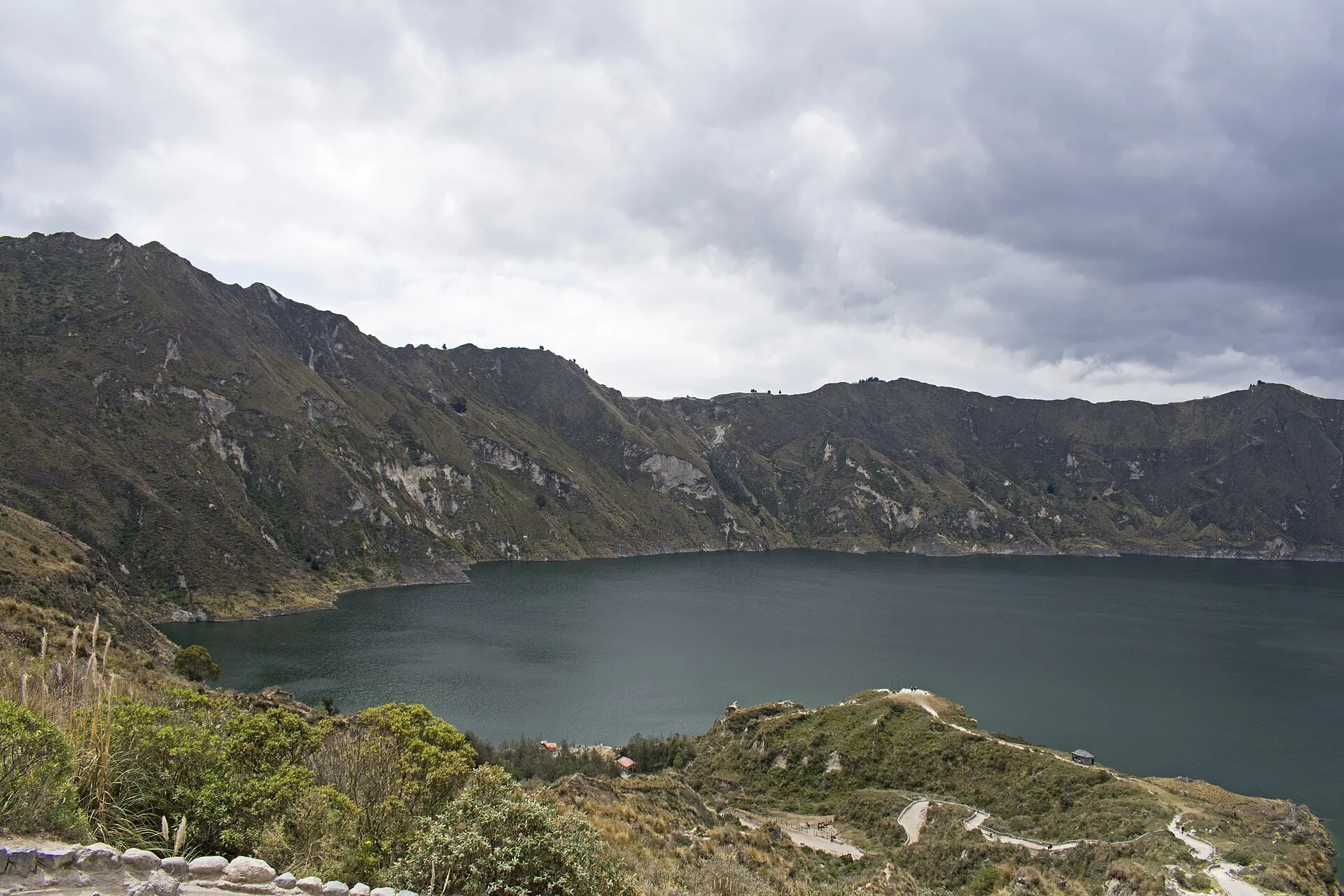
Crater rim, descent, rim loop
Community fee at the barrier at the village entrance, cash only. It covers parking, restrooms, the information point, access to the viewpoints, the trail down and the rim loop.
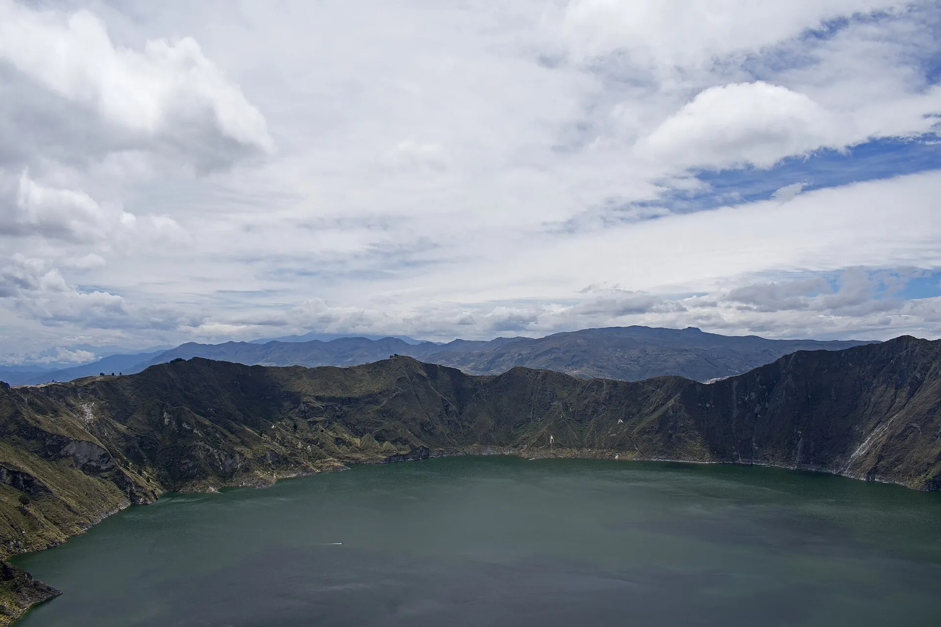
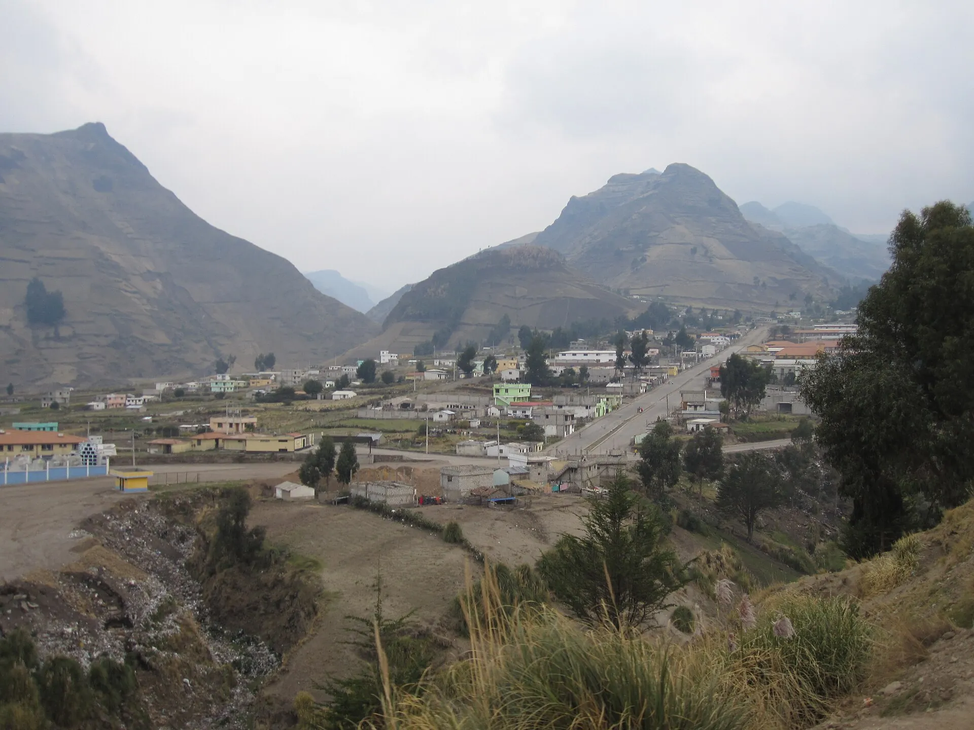
A village on the edge of a hole three kilometers wide. Water at the bottom that changes color.
The way down is volcanic sand, 30 minutes, every step sinks in.
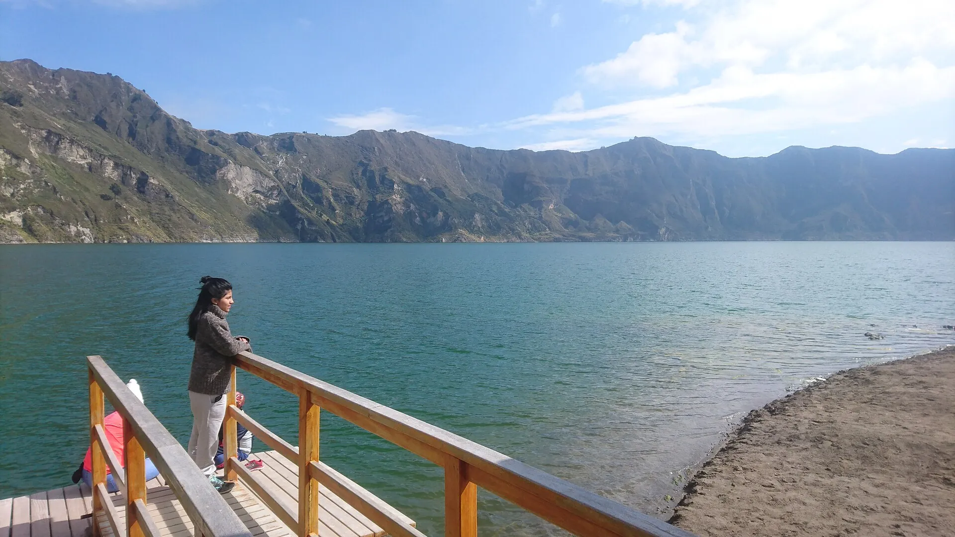
On the shore it is quiet. 250 meters of water below you, 400 meters of wall above – and the way back is waiting.
Scroll –
down to the lake
Crater rim, the hike down to the lake, kayaks and the rim loop are open. The Quilotoa community charges $2 per person at the village entrance – not a national park fee, but a contribution toward parking, restrooms and trails. A guide is not required anywhere. The rockslide of March 12, 2026 had no volcanic cause according to the IG-EPN.
Community fee at the barrier at the village entrance, cash only. It covers parking, restrooms, the information point, access to the viewpoints, the trail down and the rim loop.
Kayaks at the dock. After the rockslide of March 12, 2026, boat operations were suspended for a time; in August 2026 the community again counted kayak staff among its employees. In wind and waves, operations stop.
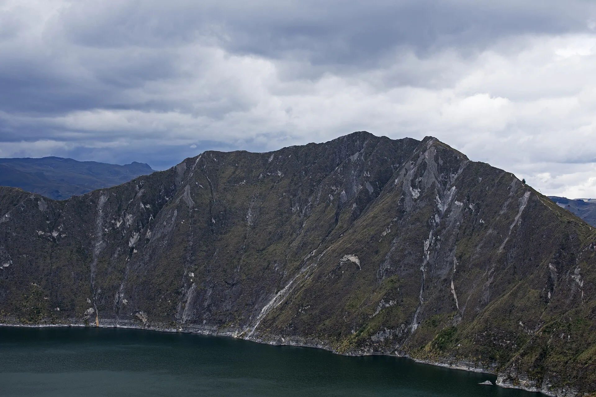
About 20,000 m³ of rock slid from the southeast wall into the lake on March 12, 2026, sending waves of up to 0.5 m (1.6 ft) to the dock. Cause: heavy rain. No deformation, no thermal anomalies, and CO₂ flux at its lowest since measurements began.

Photo: Ymblanter · CC BY-SA 4.0
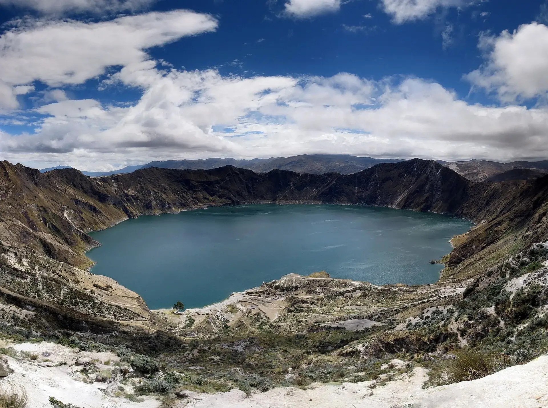
Quilotoa is not a mountain you climb. You stand on the rim and walk down: 400 m (1,300 ft) of descent on a sandy zigzag trail to the shore at about 3,500 m (11,480 ft). Going down is easy. Coming back up to nearly 3,900 m is the part everyone underestimates.
Up in the village it is usually windy and cold, 11 to 14 °C (52–57 °F) by day. After the first switchbacks it gets calmer and the lake comes closer: turquoise in sunshine, emerald under clouds, with yellowish patches where gas rises from the bottom. After 30 to 45 minutes you are standing on the dock. Swimming is not an option – the water is heavily mineralized and releases CO₂ and hydrogen sulfide.
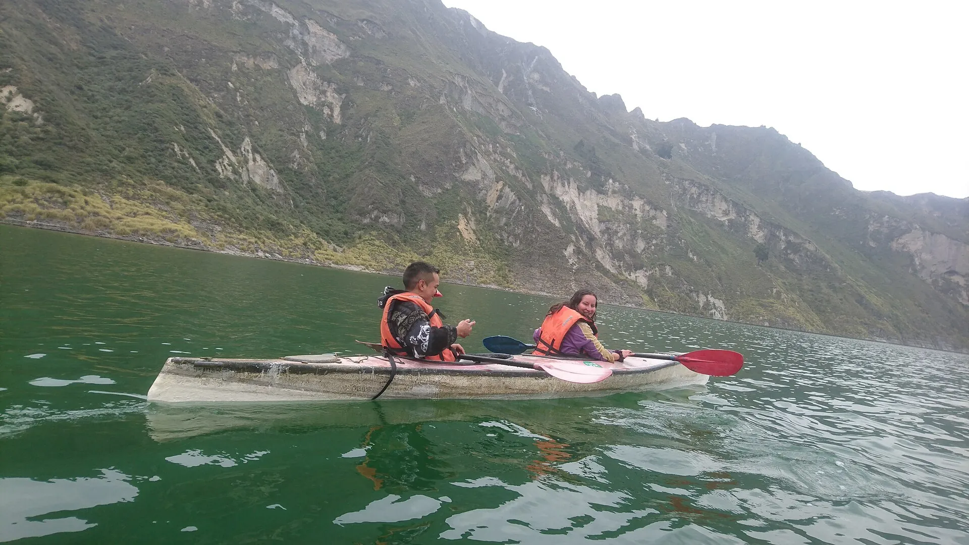
For $3 you get a kayak. Only from the water do you see how steep the crater walls really are – 400 meters, partly vertical. After the rockslide of March 2026 it is obvious why you keep away from the shore after heavy rain.
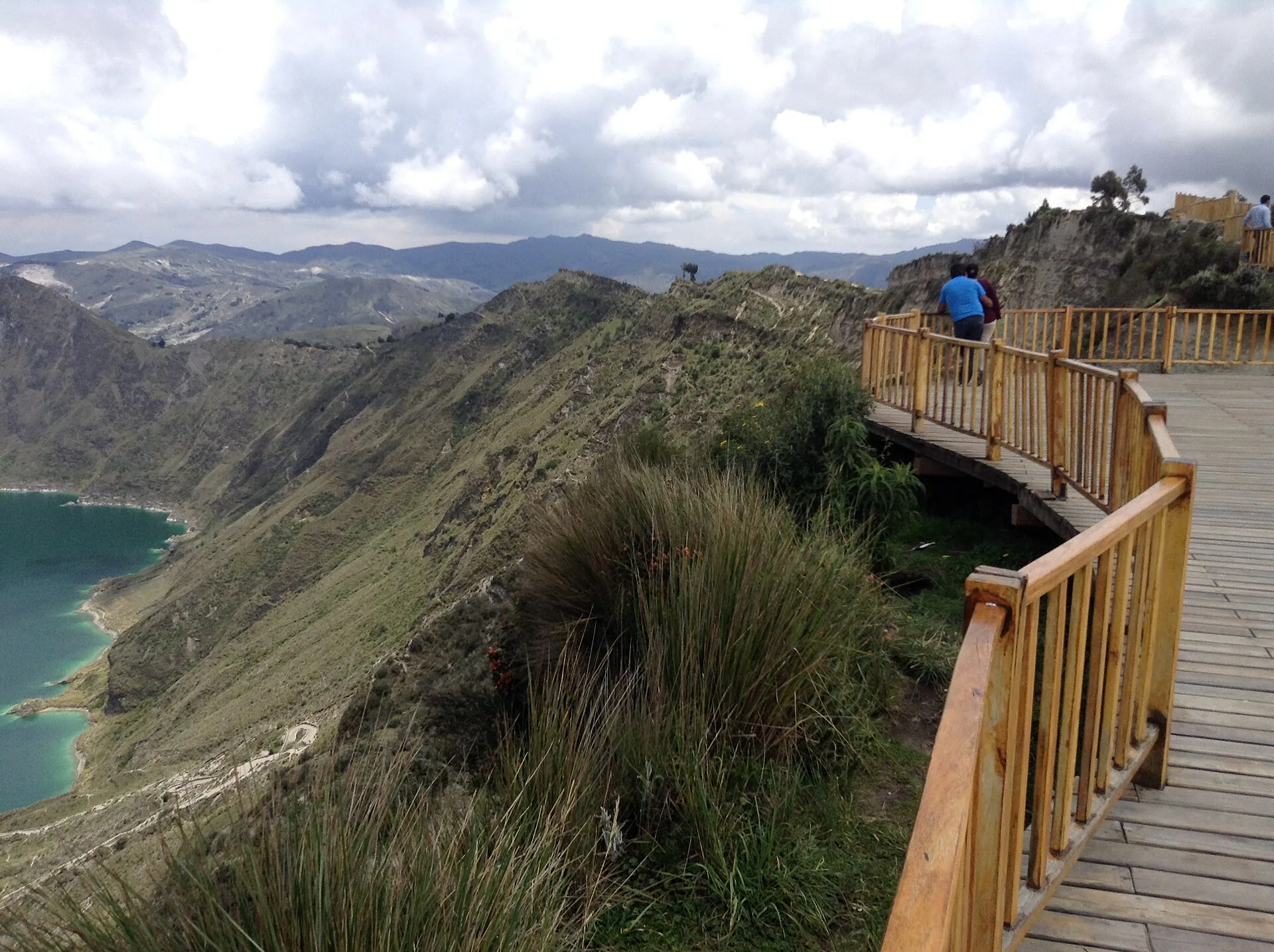
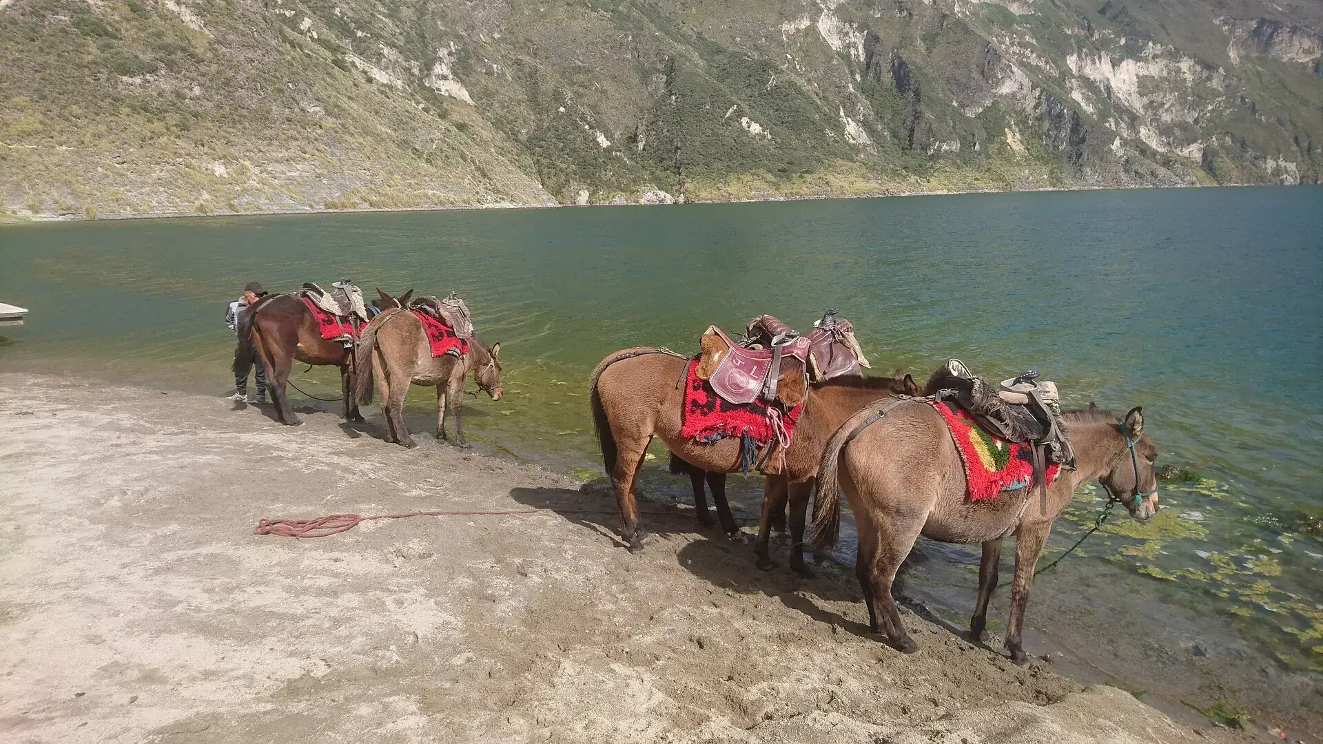
The way back: one to one and a half hours uphill in thin air, or $10 for a mule. If you still have energy, take the loop around the crater rim: 10 km (6 miles), 4 to 5 hours, three lava domes up to 3,915 m (12,845 ft), exposed in places, no water along the way. Start in the morning – fog and rain arrive almost every afternoon.

Photo: DIOHER_PAVAL · CC BY 3.0
Affiliate links to GetYourGuide: if you book, we earn a commission and the price stays the same. Prices and ratings as of 22 September 2026. Whether kayak and mule are included is in the tour description – usually you pay both on site in cash.

Photo: TupakAmaruIshkay · CC BY-SA 4.0
Quilotoa is not in a national park. The lagoon and the crater rim are run by the indigenous Quilotoa community; about 500 people make their living from it. The community sets the rates, as of August 2026.
Per person, cash, at the village entrance. Covers parking, restrooms, the information point and the crafts gallery. No time slots, no online booking, no cap on numbers. There is no ATM in the village.
Both are included in the fee and allowed without a guide. Community guides can be added for the caves, the canyon or the Loop – that is an option, not a requirement.
Kayak per person according to the community (portals quote $3 per 30 minutes). Mule or horse for the ride from the lake back to the crater rim $10. Both daytime only.
A night in the community with breakfast and dinner is around $25 per person, meals $5 to $18. Camping on the crater rim by arrangement. The neighboring community's Mirador Shalalá charges $1 for access.
| Quilotoa community fee per person (parking, restrooms, information, crafts) | $2 |
| Kayak per person | $3 |
| Mule or horse from the lake up to the crater rim | $10 |
| Overnight in the community with breakfast and dinner (administrator's figure) | $25 per person |
| Meals in the community restaurants | $5–18 |
| Access to Mirador Shalalá (Shalalá community) · as of 2025 | $1 |

Photo: TupakAmaruIshkay · CC BY-SA 4.0
| Descent from the viewpoint (approx. 3,900 m / 12,800 ft) to the lakeshore (approx. 3,500 m / 11,480 ft) | 30–45 minutes down on a sandy zigzag trail (1.7–2 km / about 1.2 miles), 1–1.5 hours back up. Included in the fee; mule for the climb $10. Slippery in rain. |
| Kayaking on the lagoon | 30–60 minutes, $3 per person. Water not drinkable, no swimming. Operations stop in wind, waves or after a slide. |
| Loop around the crater rim | About 10 km (6 miles), 4–5 hours, several climbs and descents over three lava domes (3,810, 3,894, 3,915 m); turnoffs to Shalalá and Chugchilán. No water along the way, the ridge is exposed in places, difficult in fog. Included in the fee. |
| Quilotoa Loop (village-to-village trek) | 2–4 days: usually Sigchos – Isinliví (4–5 h) – Chugchilán (5–6 h) – Quilotoa (5–6 h). Buses from Latacunga $1.50–3 per leg, hostels with half board from about $15–25. Muddy in the rainy season February–May. |
In March 2026 videos of waves on the lagoon went viral, and the question came at once: is the volcano waking up? The IG-EPN took measurements. The answer is clear – and it shows how Quilotoa is monitored.
About 20,000 m³ of rock and soil (150 × 50 m) slide into the lake. The wave (seiche) reaches the dock at up to 0.5 m; boats and canoes are suspended for a time.
CO₂ flux is 248 tons per day – the lowest value since measurements began in 2024. No deformation, no thermal anomalies.
Cause: heavy rain and water saturation of the steep crater wall. No connection to volcanic activity. Two additional seismometers in Guayama and Shalalá.
About 5,000 visitors in three days, 50 percent more than the year before. The $2 per head pays for 40 community employees.

Photo: Ymblanter · CC BY-SA 4.0
Without a car: From Quito (Terminal Quitumbe) bus to Latacunga (about 2 hours, about $2, every 30 minutes). From the Latacunga terminal direct buses of the Vivero and Iliniza cooperatives via Tigua and Zumbahua to Quilotoa: weekdays at 6:00, 7:30, 8:00, 10:00, 11:00, 12:00, 13:30, 14:30, 15:00/15:15, 15:30, 18:30, 19:30 (timetable quilotoaloop.com, as of 2019 – check locally), travel time about 2 hours, about $2–2.50. Return roughly hourly until about 5 p.m. Alternatively bus to Zumbahua (63 km, about 1 hour, about $1.50) and pickup truck to Quilotoa (14 km, $2–3 per person). Day tours from Quito are widely offered.
By car: From Latacunga on the E30 toward La Maná via Pujilí and Tigua to Zumbahua (63 km), there turn right and go north 14 km to Quilotoa; paved, many curves, fog possible. Parking at the village entrance, included in the $2 fee. From Quito about 3 hours.
Drier months June to September and December/January; mornings between 9 a.m. and noon for clear views of the lake, fog and rain move in during the afternoon. The color of the lake shifts with light and season from emerald green to turquoise; yellowish patches come from gas seeps. Holidays (August 10, Carnival, Holy Week, All Saints) are very busy with up to 5,000 visitors over three days.

Photo: Jen · CC BY-SA 3.0
The most booked tours from Quito combine the crater lake with Cotopaxi: the national park and Limpiopungo in the morning, the view into the lagoon in the afternoon. Ten to eleven hours – and at Quilotoa there is usually time for the descent, but not for the rim loop.
Affiliate links to GetYourGuide: if you book, we earn a commission and the price stays the same. Prices and ratings as of 22 September 2026. If you want the rim loop or the Loop trek, you need a night in the village – not a day tour.

Photo: Ymblanter · CC BY-SA 4.0
Yes, and it is straightforward: bus from Latacunga (about 2 hours, $2–2.50), $2 at the barrier, then the descent, kayak or rim loop without a guide. Coming from Quito, you change buses in Latacunga or take a day tour.
About 250 m (820 ft) deep, roughly 3 km (2 miles) across. The color comes from dissolved minerals and shifts with the light from turquoise to emerald; yellowish patches are gas seeps on the lake bed. Hence: do not drink it, do not swim.
According to the IG-EPN, the rockslide of March 12, 2026 was caused by heavy rain, not by volcanic activity. The descent and the trails are open; after heavy rain keep away from the steep walls and the shore, because waves can form.
Only with an early start and good fitness: descent and climb together 2 to 2.5 hours, the rim loop 4 to 5 hours. At 3,900 m that is a lot. Better: a night in the village, the rim loop in the morning, the descent in the afternoon, or the other way round.
By car about 3 to 3.5 hours via the Pan-American Highway and the E30, by bus with a change in Latacunga around 4 hours. Day tours from Quito last 10 to 14 hours.
Yes. As of September 22, 2026, there is no closure; after the rockslide of March 12, 2026, the IG-EPN found no volcanic cause, and the community reported record visitor numbers for the August 2026 holiday. In heavy rain, boat operations may pause at short notice.
$2 per person at the Quilotoa community's barrier, which includes parking, restrooms and the information point. Mirador Shalalá on the other side of the crater costs $1. Kayak $3, mule back up $10 – all cash.
No. The descent to the lake, kayaking and the loop around the crater are allowed without a guide. Community guides can be added for the caves, the canyon or the Loop.
30 to 45 minutes down on a sandy zigzag trail, 1 to 1.5 hours back up – at almost 3,900 m the return is the strenuous part. If you have had enough, a mule carries you up for $10.
About 10 km (6 miles) with several counter-climbs up to 3,915 m, 4 to 5 hours. Start in the morning, take water and a windbreaker, and skip it in fog.
Yes, the viewpoint, the descent and kayaking are family-friendly, and mules help with the climb. The altitude of 3,900 m can give children headaches – take it slowly and drink plenty. The rim loop is too long for small children and exposed in places.
Warm and windproof: on the crater rim 11–14 °C (52–57 °F) by day and frost at night are normal, and the wind is strong. Hat, gloves, rain jacket, sun protection and sturdy shoes with tread for the sandy trail.
From the Latacunga terminal, the Vivero and Iliniza buses run directly via Zumbahua to Quilotoa, about 2 hours for $2–2.50, several times a day from 6 a.m. From Quito, first take a bus to Latacunga (2 hours) and change, or take a day tour or rental car (about 3 hours via the E30).
Volcanically, not at present – the last eruption was around 1280, and the IG-EPN measures no unrest. The real risks are altitude, sudden weather changes, slippery trails and the steep crater walls: in March 2026 a rockslide set off waves in the lake. Do not swim in the lake, the water contains gases.
A 2- to 4-day village-to-village trek through the highlands west of Latacunga, usually Sigchos – Isinliví – Chugchilán – Quilotoa with day-stages of 4 to 6 hours and overnight stays in community hostels. Buses connect all the villages with Latacunga.
The crater rim with the village sits at about 3,900 m (12,800 ft; highest point 3,914 m), the lake surface about 400 m lower at roughly 3,500 m (11,480 ft). The lake is 250 m (820 ft) deep and about 3 km (2 miles) across.
Yes, the community and neighboring communities run hostels and cabins; an overnight stay with breakfast and dinner costs about $25 per person according to the community. Camping on the crater rim is possible by arrangement.
Sources · accessed on 22 September 2026